
Know what you're breathing.
Breathe is a community-run air quality network for Jammu & Kashmir and Ladakh. We put sensors on rooftops and balconies across the region, publish every reading in the open, and show it in a free app anyone can use.
"Breathe, breathe in the air. Don't be afraid to care." Pink Floyd
Official air data here is thin, slow and hard to check
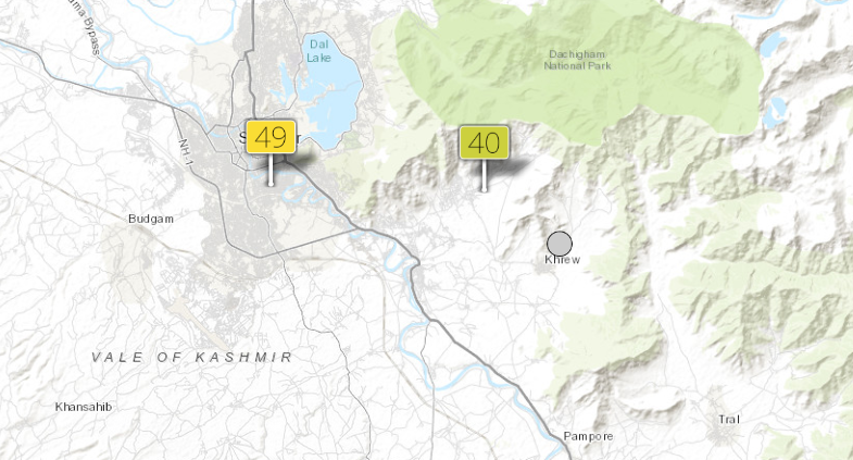
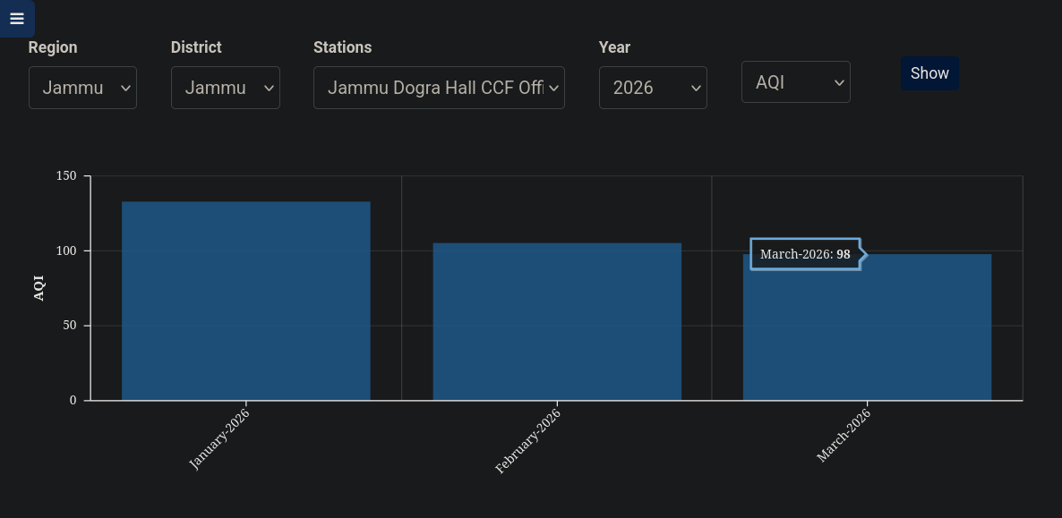
Jammu, Kashmir and Ladakh have very few government reference stations. Most apps fill the gap with satellite estimates that nobody checks against the ground, and the official numbers that do exist come out as monthly averages with no way to see how they were worked out.
That doesn't help someone deciding whether to send their kids out today, or whether the smoke over their street is as bad as it looks. Breathe exists to answer that with real, local, up to the minute readings, and to show every step of how a number was made so anyone can check it.
Air quality information should be accurate, immediate and verifiable, and it should belong to the people breathing the air.
From a rooftop sensor to your phone
-
1
Sensors measure the air
AirGradient outdoor monitors on homes, shops and campuses measure fine dust (PM2.5 and PM10), temperature and humidity around the clock and report it over Wi-Fi every 15 minutes.
-
2
We check it and compute the AQI
Our open API averages the sensors in each zone, drops readings that look broken, and turns the result into both the US EPA AQI and India's NAQI. Where there's no sensor yet, it uses CAMS satellite data and says so.
-
3
You see it, anywhere
The web app, the Android and iOS apps and the Discord bot all read the same live data, with a map, 24 hour trends, history, health advice and the cigarette equivalent of what you're breathing.
What's actually in the air on your street
AirGradient kits, both official ones and India-assembled open hardware. They catch local smoke and dust spikes as they happen and are what we trust first.
A regional estimate where we have no sensor
Modelled data from Copernicus through Open-Meteo. Good for regional trends, but it can miss what's happening locally, which is why every zone is labelled with its source.
Where we measure today
We track 25 zones across Jammu, Kashmir and Ladakh. 13 cities have sensors on the ground, and the other 12 run on satellite data until someone hosts a sensor there.
Live in one of the satellite zones? A sensor at your place would give it real readings, and it's free.
Host a sensorSame data, wherever you are
Every app reads the same live network through the same open API.
Web
Works in any browser and installs like an app. Live map with 24 hour playback, zone pages you can share, extended history and health advice.
Android
Material You theming, AMOLED dark mode and home screen widgets. Android 8.1 and up.
iOS, iPadOS and macOS
A native SwiftUI app with a map overlay, 24 hour graph and widgets, on iPhone, iPad and Mac.
Discord bot
Slash commands for any zone, fuzzy place names, 24 hour trend graphs and cigarette equivalence, right in your server.
Public API
Every reading is free to use, with no key needed. Build your own dashboard, research or bot on top of it.
Desktop Early
A native Qt 6 app for Linux, Windows and macOS. It is still an early proof of concept.
Help expand the network
Coverage is still the biggest gap in Breathe. About half of our zones run on satellite models because there is no sensor on the ground, and a model can't see the smoke from a kiln down the road. Hosting a sensor puts real readings on the map for your whole area, and it costs you nothing.
We send the sensor
An AirGradient outdoor monitor, shipped to you for free. We pay for the hardware and the shipping, and it stays a BreatheOSS project sensor that you look after for the network.
We help you set it up
All it needs is an outdoor spot with open air (a balcony, a wall or a rooftop) and your Wi-Fi. We'll walk you through mounting and connecting it.
We keep it powered
Power cuts are common in a lot of places here, so we'll send power banks and whatever else it takes to keep the sensor online through them.
We stay in touch
If it goes offline or the readings look off, tell us and we'll work through it with you until it's fixed.
Want one at your place?
Reach out on any of these and tell us roughly where you are.
Code, funding and spreading the word
Write code
Everything we run is open source on GitHub (the Android and iOS apps, the web app, the API and the Discord bot), and pull requests are welcome. They go through the same review our own code does, so here's how we work.
- Keep it simple. Plain, readable code over clever code, no new frameworks or dependencies unless there's really no other way, and no comments that just repeat what the code already says.
- Small, atomic commits. One change per commit, every commit builds on its own, and every commit is signed off with
git commit -s. Match the subject style you see in that repo's history. - Be honest with the data. Never fake, pad or smooth a reading. If a number is modelled, stale or missing, the app should say so.
- LLMs are fine, slop isn't. Use whatever tools help you, but say which model you used in the PR description. You have to understand every line you send and be able to explain it in review, and pull requests that read like unreviewed AI output get closed.
- Test it first. Run what you changed on a real device or browser before you open the PR, and say what you tested.
Fund the network
Donations go straight into sensors, power banks and the server that keeps it all running. Any amount helps, over UPI to either of these.
Want to do more than a one-off donation, like sponsoring a sensor or a whole area? Email [email protected] and we'll work it out together.
Spread the word
Share Breathe with people who care about the air they breathe. To promote it, or collaborate on a post or a campaign, DM us on Instagram.
Open by default, run for the public
The code is open so anyone can audit what we claim, the method is written down so anyone can challenge it, and the data is free so anyone can use it. Our charter makes that binding.
Open source
Everything we build is released under an open-source licence, from the apps to the API.
Open data
Air measurements are a public good, so they stay free for anyone to read, download and reuse.
Nothing hidden
Assumptions, processing, calibration and method changes are documented, so results can be reproduced.
Non-profit
Breathe runs for the public, not for profit. Any money that comes in goes back into the network.
Independent
We aren't affiliated with the CPCB, JKPCB or any government agency, and no result is bent to suit anyone.
Built to outlast us
No founder owns the project. It's set up to keep going whoever runs it, and people who contribute take part in how it's run.
Things people usually ask
Who builds Breathe
A small team from Jammu, Kashmir and Ladakh, and everyone who has sent code, hosted a sensor or helped along the way.
Founders
Team
 sidharthify
 FlashWreck
 Lostless
 SleeperOfSaturn
 Altair Irfan
Contributors
 Suvesh Moza
 EmpireA9
 Sandeep
 oldschoolfellow
 Rudhransh Damral
 Historeel
 Zero Waste Ladakh
 GCET Jammu
 University of Kashmir